
Walking a Colton Street Address
A useful Colton street directory is built one parcel at a time. The county assessor's map can place an address on a polygon and supply an APN, or assessor parcel number. The recorder then searches by party or document criteria because it cannot search ownership by street address. City eTRAKiT can add a permit timeline, and older directories or census pages can add listed occupants for a particular year. The chain is strongest when every name has a source date and every address has a parcel or legal description.
- Normalize the address with USPS and the city map. Confirm that postal Colton is actually within the incorporated city or another county jurisdiction.
- Open Parcel Access, search or click the parcel, and write down the APN, situs, legal description, assessment facts, and tax mailing address separately.
- Browse adjoining polygons in the county viewer when the goal is a block or both sides of one street.
- Use the APN, legal description, or current party name in the 1925 to present recorder index, then inspect or order the instrument.
- Compare the dated deed or permit clue with a directory, telephone book, or census source when the question concerns an occupant rather than an owner.
That sequence avoids the most common error in a street directory search: treating a mailing address or deed party as a complete list of residents.
Colton Parcel Search Fields
The San Bernardino County Assessor Property Information page leads to Parcel Access and a public map. It is the address-first tool for Colton. The county recommends Chrome or Firefox for the public property interface. A map click can be more reliable than a street-name guess, especially where a postal city, an old number, and the municipal boundary do not align.
| Search field | Type | Required | Format or use |
|---|---|---|---|
| APN | Text | No | Durable parcel key; book, page, and parcel format varies |
| Street address | Text or geocoder | No | Finds the situs location used by the map |
| Map location | Interactive map | No | Pan, zoom, click, and inspect nearby parcel polygons |
| Layers and basemap | Map controls | No | Context layers vary and should be noted at use time |
A representative result can contain APN, situs address, owner or assessee when display is lawful, tax mailing address, legal description, tax-rate area, assessed land and improvement values, exemptions, characteristics, and map geometry. The county does not advertise a special owner-name query service. Resolve the street to a parcel before asking the recorder to do work it does not provide.
Map the Next Colton Parcel
The county parcel viewer supports a visual street browse. Open the public map, geocode or pan to the subject, zoom until parcel boundaries and labels are readable, click the target polygon, and note its APN. Close the popup before selecting each adjoining polygon. This reveals the shape and situs of nearby parcels even when no bulk street report exists. It is a practical way to build a block outline without pretending the map is a household roster.
The San Bernardino County parcel viewer supplies the map view shown below.
City maps add zoning, historic districts, council districts, FEMA flood zones, electric service, benchmarks, bicycle lanes, and street-sweeping context. Those layers help decide which agency likely holds a permit or planning record, but they do not add private customer names.
For an immediate block, note the subject APN, each adjoining APN, the street side, and the date of the map view. A later map update may change a label or layer. The APN and legal description remain the better bridge to recorded documents.
Street-Level Colton Records
Different record sets answer different street questions. The assessor can identify parcels and assessment facts. The recorder indexes parties to instruments. eTRAKiT adds city permit and project evidence. A directory street section can show a listed occupant or business at a dated number. Census schedules show households at ten-year intervals through 1950. California voter data has a legal access channel, but it is not an open browse of current names along a street.
| Record set | Keeper | Street-level fact | Access |
|---|---|---|---|
| Parcel and assessment | County Assessor | Parcel geometry, situs, values, mailing contact | Free map and Parcel Access |
| Recorded instruments | County ARC | Indexed parties, titles, numbers, and dates | Free index; image by office or order |
| Permits and projects | Colton Development Services | Applicant, project, inspection, and work chronology | General search; account for detail |
| Directory street pages | Library or catalog provider | Listed subscriber, occupant, occupation, or business | Collection and year dependent |
| Census enumeration | NARA and libraries | Household sequence and nearby households | Public through 1950 |
| Voter information | California elections officials | Purpose-limited registration data | Not an open street roll |
The parcel number ties the current map to assessment and deed work. A directory year or census page supplies a different kind of evidence. Keeping the record roles visible is what makes a street directory useful rather than misleading.
The APN Before the Deed
San Bernardino County's Official Public Records Index runs from 1925 to the present. It searches grantor and grantee names, document number, recording date or range, and document title or type. A grantor conveys an interest. A grantee receives one. Neither label, standing alone, proves that a person still owns the parcel or ever lived there.
Search every spelling variation, record the document number and date, and match the legal description or APN before moving backward. The web product is an index only. Instrument images are not displayed remotely because of Government Code section 6254.21. The Hall of Records in San Bernardino and the High Desert Government Center in Hesperia can provide inspection or copy routes. The county states $4 for the first page and $1.50 for each later page, with online card surcharge and current mail options.
The ARC official-records page supplies the index and copy information shown below.
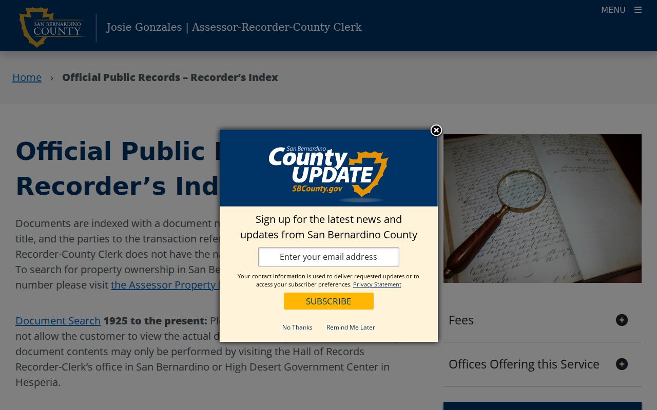
The office page gives locations, fees, appointment advice, mail address, and one-to-two-week stated turnaround. A non-certified online order can be emailed, while a certified order ships. Use the index to find a document, then use the office or order channel to read the instrument itself.
eTRAKiT Permits by Address
Colton eTRAKiT covers Building, Fire, Planning, and Public Works. Anonymous users can conduct a general property search. Registered users can reach more detail, applications, plans or studies, payment records, and inspection monitoring. Contractors use a state license number as the account username, with account setup and email verification rules shown by the city. The exact live buttons may change as the portal is enhanced.
A permit file can add an owner-builder, applicant, contractor, project date, inspection event, final sign-off, or business-license connection to an address. Those fields help date an alteration or disambiguate a common name. They do not create an occupant list. Request a defined project or date range through the City Clerk when the web view is too thin.
| eTRAKiT mode | Research use |
|---|---|
| Property search | Start from address and find a general public record |
| Permit or project number | Retrieve a known file without a broad street sweep |
| Account and login | View detail or take account-based actions when eligible |
| Inspections and final sign-off | Date work stages and compare with directory or deed years |
The Colton eTRAKiT portal page is the correct place to check current access. For a missing historical permit, ask Development Services or send a narrow CPRA request rather than asking for a new resident list.
Reading Colton Streets Backward
Historical city directories use a different key. An alphabetical entry may list a name, spouse or widow mark, occupation, workplace, residence marker, and home address. A reverse or criss-cross directory turns the order around: street, number, and occupant or business. Telephone books usually identify subscribers and exchanges. These sources can show a person at a dated number, but publication gaps and omissions are common.
The strongest historical match pairs the street page with a census year, newspaper notice, permit, or deed. Colton-specific directory discoveries include editions in 1914, 1916, 1924, 1928, 1930, 1940, 1942, and 1949. The Arda Haenszel California Room documents regional coverage from 1887 to 1968. The collections themselves are described in depth on the Colton city directory collections page.
The recorder Public Access System disclaimer is the source shown below and warns that spelling variants matter.
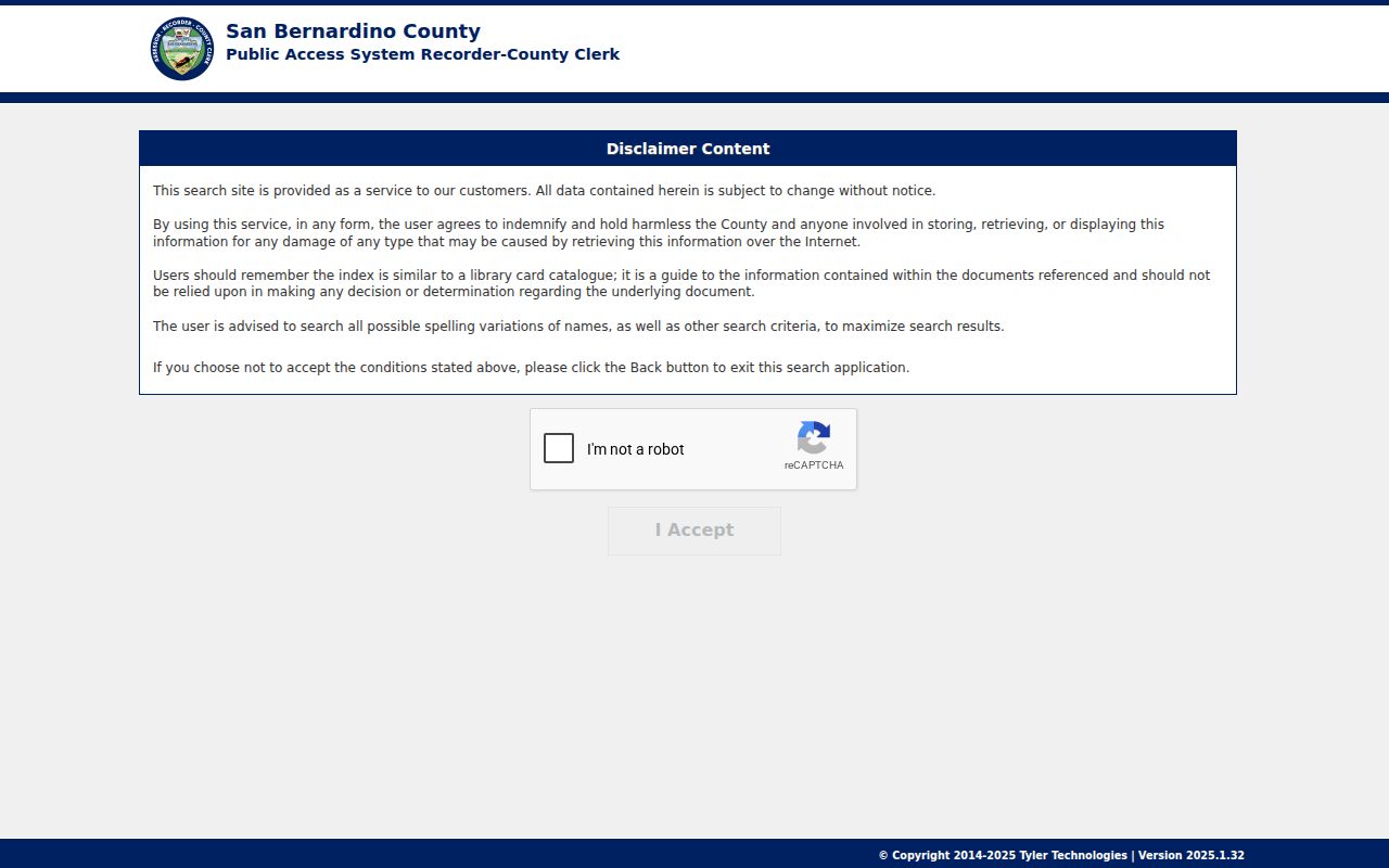
A street page may preserve a surname spelling that differs from a deed index. Save the title page, publisher, year, page number, and abbreviation key for every directory result.
Colton Address Identities
Three address identities often appear together in Colton records. The situs is the physical parcel location. The mailing address is where the assessor sends tax correspondence. The legal description is the land identity used in instruments, often through subdivision, lot, and block language or a metes-and-bounds description. USPS verifies delivery. The city map verifies municipal context. The assessor map supplies the APN.
- APN
- Assessor parcel number, the map and roll key for a parcel.
- Situs
- Physical location of the land or structure.
- Legal description
- Recorded land identity that can outlast a street-number change.
- Plat
- A subdivision or survey map showing lots, blocks, lines, and related land layout.
- Criss-cross directory
- A reverse directory organized by street and number rather than surname.
When a street number or name looks different across decades, compare the legal description, APN history, lot and block, map location, and building footprint. Do not let a matching number alone join two records.
Postal Colton and City Lines
A postal city label is not a municipal boundary. The primary Colton ZIP is 92324, but postal territory reaches into edge areas such as Reche Canyon and Cooley Ranch. The neighboring 92313 routing is chiefly Grand Terrace and can be paired with Colton in historic USPS material. A street directory search should verify the full address with USPS and then check the city and county maps.
This matters when a parcel, permit, voter jurisdiction, and tax record seem to disagree. The City of Colton map set includes boundary, zoning, historic-district, council-district, utility, and FEMA layers. A postal address can guide a first search, but the map and APN decide which government custodian is likely to hold the record.
Colton's official city maps help resolve the jurisdiction question. No official exhaustive ZIP polygon list was located, so a ZIP should never be treated as proof of city residence.
Colton Voter Data Is Private
California My Voter Status is a self-service identity check. It asks for a first name, last name, date of birth, and an identity field such as a driver's license or ID suffix or, when applicable, a Social Security suffix. It returns the matched voter's own registration and election information. It does not let a person browse every name along a Colton street.
Elections Code section 2194 limits voter-file release to election, scholarly, journalistic, political, or governmental purposes determined through the authorized process. Home address, phone, email, registration numbers, prior registration, identity numbers, and signatures are confidential under Government Code section 7924.000. Commercial use is a misdemeanor. Safe at Home and designated confidential voters are excluded.
That legal design leaves a gap in any current street directory. Adjacent parcels can show owners and map geometry. They cannot supply a lawful open list of all voters, unlisted occupants, utility customers, or DMV addresses. When the goal shifts from a whole street to one person, the Colton resident lookup workflow uses independent anchors instead.
Colton Street Numbers Drift
No verified citywide Colton renumbering year was located. That absence is useful guidance. A historical address can change when a street name changes, a lot splits or merges, a subdivision is replatted, or a postal label differs from the municipal line. A 1907 Sanborn map, successive directory pages, city maps, permits, and deeds can help create an address concordance. The concordance should show the source and reason for each proposed match.
Begin with the present parcel and work back through the legal description. Then compare building footprint, lot and block, nearby cross streets, and the occupants named in dated directories. If the evidence conflicts, preserve both possibilities and ask the library, archives, or recorder staff about the relevant index books. Do not invent a renumbering story to explain a gap.
| Cross-check | Why it helps |
|---|---|
| APN and legal description | Connects present map identity to a recorded parcel |
| Sanborn footprint | Tests building shape, use, and street labeling |
| Directory street page | Tests an occupant or business at a dated number |
| Permit and deed date | Anchors physical change or transfer in time |
Colton Street Directory Limits
A street directory can show parcel facts, indexed parties, public permit roles, dated directory entries, and historical household pages. It cannot show every person who occupies a structure. Utility customer records, delivery data, DMV addresses, complete unlisted households, and protected addresses are not open street layers. A directory omission is not proof that a person was absent.
Lawful personal use. Colton address records support property history, family research, civic checking, and safe reconnection. Using names or addresses to stalk, harass, intimidate, or harm a person can violate California law, including Penal Code section 646.9 and the harassment framework in Code of Civil Procedure section 527.6.
Verify a disputed assessment fact with ARC Assessor Services, an index or image issue with Recorder-Clerk Services, a permit detail with Colton Development Services, and a voter registration issue with elections officials. The custodian, not a search result, is the place to correct a record.